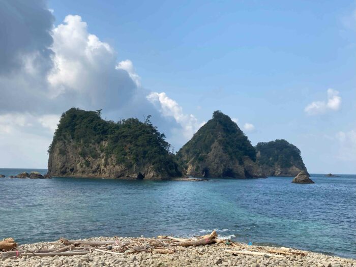
Izu Peninsula was formed 600K years ago by the collision of islands came from southern sea sitting on Philippine sea plate moving toward north. Those islands used to be volcanic islands and some of them were submarine volcano. They came to surface after the collision to Honshu (main island of Japan). Fragile lime stone washed away and solid magma remained and all those geological activities created the beautiful scenery of “Nishi Izu” (Western side of Izu Peninsula).
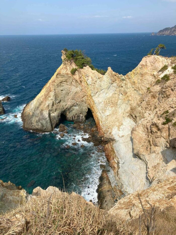
This rock is named as “Horse head” from its shape. Hydrothermal reaction gave special color to the layers and some exhibits golden color while other looks pink to red.
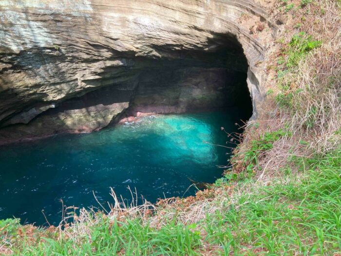
There are caves created by tidal erosion. Some of them, you can enter by boat. This is the one at Dogashima.
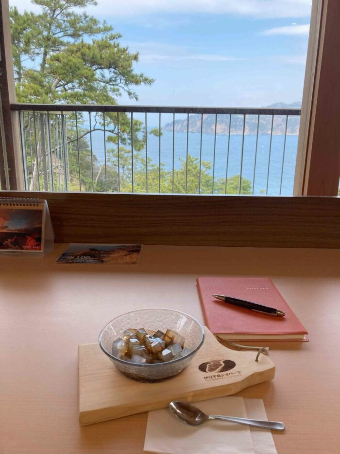
“Kanten” or “Tokoroten” are jelly-like food made from the local seaweed. Nicely chilled Kanten goes very well with brown sugar syrup.
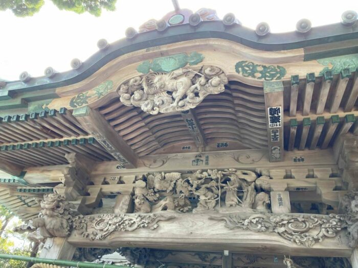
Ose Shrine is located at the tip of the Ose cape to protect local fishermen and sailors. The shrine is believed to be built in the 7th century. There is a pond at the top of the cape . Though the pond is surrounded by seawater (20meter distance to the shore) it is filled with sweet water and many carps and catfish are living.
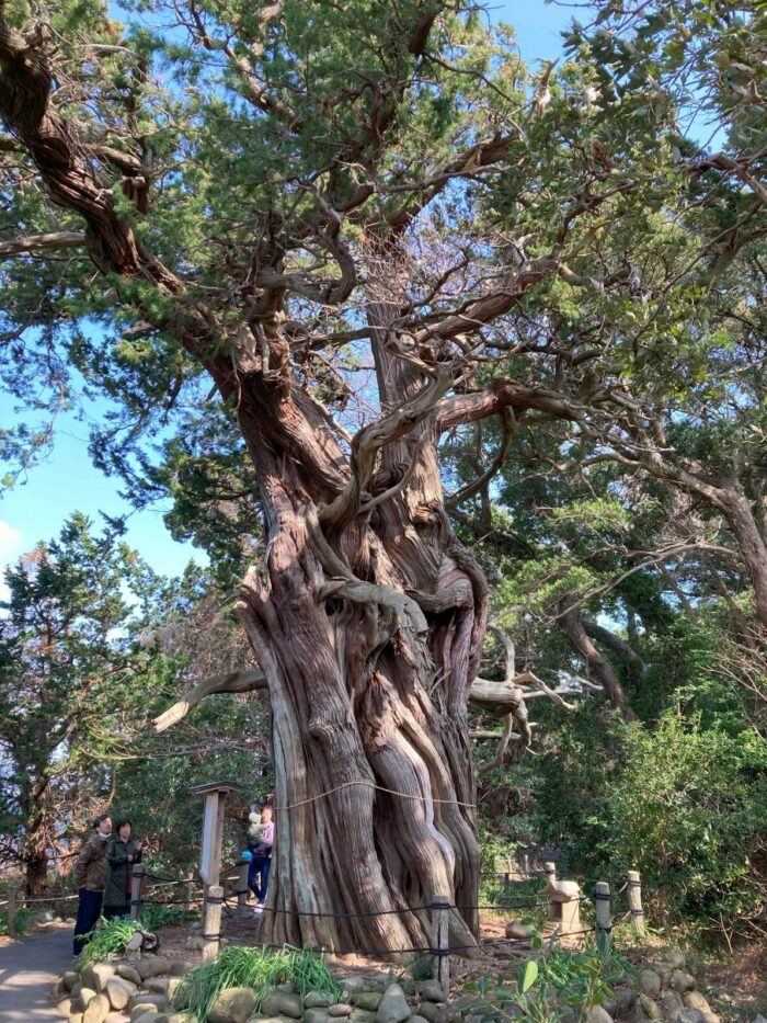
Sacred tree of the shrine of more than 1000years old. Another unique fact in the shrine next to the pond is this Byakushin tree which generally lives in much warmer climate. In the shrine area, there are many Byakushins and they are the most north trees of this kind in Japan.